Detailed description
To view the map area,
sign in or create account
sign in or create account
28.17478 59.35855, 28.20705 59.39163
Identity Description
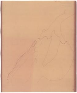
| Title | Tõenäoliselt Narva piirkonda kujutava plaani mustand |
|---|---|
| Map type | Single sheet map |
| Reference code | EAA.1646.1.2637 sheet 12 |
Creators
| Firstname | Lastname | Occupation of cartographer | Creators position |
|---|---|---|---|
| Gunnar | Nilsson | author of base map |
Cartographical and Publishing Description
| Main subject | Not set |
|---|---|
| Material designaton | plan |
| Manuscript/Printed | manuscript rough draft |
| Base map(s) year | 1649 |
| Created | 20. saj I pool |
Components and Mathematical Description
| Components | Not set |
|---|---|
| Azimuth | Not set |
| Relative scale | 2500 (Estimated) |
Geographical Description
| Admin unit | Specification |
|---|---|
| Estonia (to 1917) / Estonia Guberniya / Viru County / Narva City/Town (to 1917) | Narva |
Physical Description
| Storage form | streched |
|---|---|
| Material and mounting | paper |
| Medium | pencil |
| Dimensions (cm) | Not set |
| Access-restrictions | No access restriction |