Detailed description
To view the map area,
sign in or create account
sign in or create account
23.85 57.87, 25.80 58.87
Identity Description
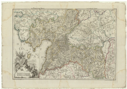
| Title | Der Pernausche Kreis |
|---|---|
| Map type | Single sheet map |
| Reference code | EAA.2041.1.185 sheet 1 |
Creators
| Firstname | Lastname | Occupation of cartographer | Creators position |
|---|---|---|---|
| Ludwig August krahv | Mellin | cartographer |
Cartographical and Publishing Description
| Main subject | Not set |
|---|---|
| Material designaton | map |
| Manuscript/Printed | printed |
| Created | 1797 |
Components and Mathematical Description
| Components | explication, legend for symbols, illustrated, grid lines, graphical scale |
|---|---|
| Azimuth | Not set |
| Textual scale | Deutsche Meilen zu 15 auf einen Grad [1:1 196 000] = 11 cm |
| Relative scale | 200000 |
Geographical Description
| Admin unit | Specification |
|---|---|
| Estonia (to 1917) / Livonia Guberniya / Pärnu County |
Physical Description
| Storage form | folder |
|---|---|
| Material and mounting | paper |
| Medium | printed+coloured |
| Dimensions (cm) | 74x53/A1 |
| Access-restrictions | No access restriction |
Maps referring to this map
| Reference code | Manuscript/Printed |
|---|---|
| EAA.1365.1.31 sheet 10 | printed |