Detailed description
To view the map area,
sign in or create account
sign in or create account
24.83 59.33, 25.48 59.54
Identity Description
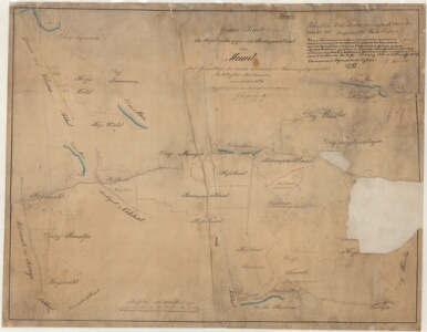
| Title | Grenz-Karte des Hofslandes gegen das Bauerpachtland von Maart. |
|---|---|
| Map type | Single sheet map |
| Reference code | EAA.2072.4.107 sheet 1 |
Creators
| Firstname | Lastname | Occupation of cartographer | Creators position |
|---|---|---|---|
| J. | Kuzmanov | author of base map |
Cartographical and Publishing Description
| Main subject | Not set |
|---|---|
| Material designaton | plan |
| Manuscript/Printed | manuscript copy |
| Base map(s) year | 1876 |
| Created | 1887 |
Components and Mathematical Description
| Components | compass |
|---|---|
| Azimuth | Not set |
| Relative scale | 5200 |
Geographical Description
| Admin unit | Specification |
|---|---|
| Estonia (to 1917) / Estonia Guberniya / Harju County / Jõelähtme Parish / Maardu Manor |
Physical Description
| Storage form | Not set |
|---|---|
| Material and mounting | paper |
| Medium | ink+coloured |
| Dimensions (cm) | 68x53/A1 |
| Access-restrictions | No access restriction |